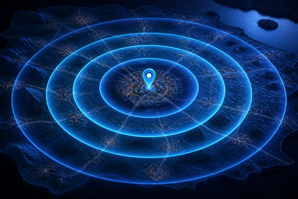
A mile radius map shows a circular area around one center point using a radius measured in miles. A 10-mile radius, for example, extends approximately 10 straight-line miles from the center in every direction.
Use our Map Radius Calculator to click a center point, enter the number of miles, and draw the radius directly on the map.
What Is a Mile Radius Map?
A mile radius map uses one geographic point as the center of a circle.
The radius is the distance from that center to the boundary.
For example:
Center → Boundary = 10 miles
That produces a:
10-mile radius
The full width through the center is the diameter:
Diameter = 2 × Radius
So a 10-mile radius has a diameter of:
20 miles
The circle provides a simple way to visualize geographic coverage around a location.
How Do You Draw a Mile Radius on a Map?
Use four basic steps:
- Select the center location.
- Enter the number of miles.
- Choose Miles as the unit.
- Create the radius circle.
For example, to draw a 25-mile radius:
Radius value = 25
Unit = Miles
The map then draws a circle approximately 25 straight-line miles from the selected center.
For the complete workflow, see How to Draw a Radius Circle on a Map.
What Does "Within 10 Miles" Mean on a Radius Map?
On a simple radius map, "within 10 miles" means that the point lies inside an idealized circle whose boundary is approximately 10 straight-line miles from the center.
It does not automatically mean:
- 10 driving miles;
- 10 minutes of driving;
- 10 walking miles;
- the same delivery cost;
- the same travel time.
The measurement is geographic rather than route-based.
How Large Is a 1-Mile Radius?
A 1-mile radius extends one mile from the center in every direction.
Its diameter is:
Diameter = 2 × 1
Diameter = 2 miles
Using the planar circle-area formula:
Area = π × Radius²
we get:
Area = π × 1²
Area ≈ 3.14 square miles
A 1-mile radius is useful for very local proximity questions.
How Large Is a 5-Mile Radius?
For a 5-mile radius:
Diameter = 10 miles
Approximate planar area:
Area = π × 5²
Area = π × 25
Area ≈ 78.54 square miles
A 5-mile radius can be useful for:
- neighborhood service areas;
- property searches;
- school proximity;
- local delivery screening;
- event planning.
How Large Is a 10-Mile Radius?
For a 10-mile radius:
Diameter = 20 miles
Approximate area:
Area = π × 10²
Area ≈ 314.16 square miles
This is a common radius for visualizing local business coverage or nearby communities.
How Large Is a 25-Mile Radius?
For:
Radius = 25 miles
the diameter is:
50 miles
Approximate area:
Area = π × 25²
Area ≈ 1,963.50 square miles
A 25-mile radius covers a much larger region than a 10-mile radius because area grows with the square of the radius.
How Large Is a 50-Mile Radius?
A 50-mile radius extends approximately 50 straight-line miles from the selected center in all directions.
Its diameter is:
100 miles
The simple planar area estimate is:
Area = π × 50²
Area = π × 2,500
Area ≈ 7,853.98 square miles
A 50-mile radius is large enough to include multiple cities or counties in many parts of the United States, depending on the center location.
Current radius tools commonly use 50 miles as one of their standard presets because it is useful for regional service, logistics, and travel visualization.
How Large Is a 100-Mile Radius?
For a 100-mile radius:
Diameter = 200 miles
Approximate planar area:
Area = π × 100²
Area ≈ 31,415.93 square miles
This is a regional-scale radius rather than a local one.
At this scale, road access, terrain, map projection, and Earth's curvature become increasingly important when interpreting the circle.
Mile Radius Quick Reference
| Radius | Diameter | Approximate Area |
|---|---|---|
| 1 mile | 2 miles | 3.14 sq mi |
| 5 miles | 10 miles | 78.54 sq mi |
| 10 miles | 20 miles | 314.16 sq mi |
| 25 miles | 50 miles | 1,963.50 sq mi |
| 50 miles | 100 miles | 7,853.98 sq mi |
| 100 miles | 200 miles | 31,415.93 sq mi |
These area values use the simple planar formula A = πr².
They are useful approximations for understanding scale, not precise geodesic-area calculations for very large regions.
Why Does Area Increase So Quickly?
Area depends on the square of the radius.
The formula is:
Area = πr²
If you double the radius:
r → 2r
then:
Area = π(2r)²
Area = 4πr²
So doubling the radius creates approximately four times the area.
For example:
10-mile radius ≈ 314.16 sq mi
20-mile radius ≈ 1,256.64 sq mi
The radius doubled, but the approximate area became four times larger.
What Does "50 Mile Radius From Me" Mean?
The phrase 50 mile radius from me usually means:
Show the geographic area within approximately 50 straight-line miles of my current location.
To do this, your current location becomes the center point.
Then:
Radius = 50 miles
The resulting circle shows the idealized geographic coverage.
Our current Radius Calculator does not automatically request device GPS, so you choose your location manually on the map.
Is a 50-Mile Radius the Same as 50 Driving Miles?
No.
A 50-mile radius is based on straight-line geographic distance.
A 50-mile driving limit follows the road network.
Those boundaries can be very different.
For example, a location might be:
40 miles away directly
but:
58 road miles away
because the driving route must follow highways, bridges, or indirect roads.
For road-based coverage, see Driving Radius Map Guide.
What Is the Difference Between a Mile Radius and a Drive-Time Radius?
A mile radius uses distance.
A drive-time radius uses time.
For example:
20-mile radius
means:
approximately 20 straight-line miles from the center.
A:
30-minute drive-time area
means:
locations reachable within about 30 minutes by road.
The second shape is normally irregular because road speeds and connectivity differ by direction.
TravelTime, for example, distinguishes its straight-line radius maps from road- or travel-time reachable areas.
Why Is a Driving Radius Not a Perfect Circle?
Roads do not extend evenly in every direction.
Imagine a center with:
- an interstate to the east;
- mountains to the west;
- a river to the south;
- dense streets to the north.
The same amount of driving time could cover:
30 miles east
but only:
10 miles west
The reachable boundary therefore becomes irregular.
A simple mile radius ignores this road-network effect.
What Is a Service-Area Radius?
A service-area radius uses a center location and distance to define a simple geographic coverage zone.
For example:
Service area = 15-mile radius from office
can be shown as a circle around the office.
This can be useful for:
- home-service businesses;
- delivery screening;
- local advertising;
- facility coverage;
- event planning.
However, use a road-based or drive-time model when the business actually defines service by travel time or road mileage.
Can a Mile Radius Define a Delivery Area?
Yes, as a simple geographic rule.
For example:
Delivery area = 8-mile radius
can provide an easy-to-understand coverage boundary.
But a customer inside the radius could still require more than eight miles of driving.
A river, highway layout, or limited crossing can increase actual route distance.
Use route analysis when operational mileage matters.
Can a Radius Map Show Cities Within 50 Miles?
A radius map can help visually identify which cities appear inside the circle.
For a more exact city search, the underlying process would compare each city's representative coordinates with the selected center and determine whether the distance is less than or equal to 50 miles.
Current tools such as SimpleMapLab offer dedicated city-in-radius searches for this purpose.
Your current calculator shows the radius circle but does not generate an automatic list of cities inside it.
Can a Radius Map Show ZIP Codes Within a Distance?
A radius can visually cover areas associated with multiple ZIP Codes.
However, ZIP Codes are postal constructs rather than exact circular geographic points.
A more rigorous ZIP-radius analysis requires a defined ZIP dataset and a clear rule for determining whether a ZIP Code is inside the radius.
For the underlying ZIP geography, see Distance Between ZIP Codes.
Can I Draw a Mile Radius Around an Address?
Yes, once the address has been identified geographically.
The current Radius Calculator does not include direct address search, so you can:
- find the address coordinates;
- locate that position on the map;
- click it as the center;
- enter the mile radius.
See How to Find Latitude and Longitude From an Address for the coordinate step.
Can I Draw a Mile Radius Around a City?
Yes.
Choose the point in the city that should serve as the center.
For example:
- downtown;
- city hall;
- airport;
- business location;
- geographic center.
A city itself is not one point, so the choice of center affects which places fall inside the circle.
Can I Draw a Radius Around a Business?
Yes.
A business location can act as the center of the radius.
For example:
Center = restaurant
Radius = 5 miles
This can help visualize:
- delivery screening;
- local advertising reach;
- potential customer areas;
- competitor proximity.
The radius is still geographic rather than route-based.
What Is a Coverage Area?
A coverage area is the region associated with a location, service, facility, signal, or activity.
A radius circle is one simple way to define coverage.
Examples include:
5-mile coverage around a clinic
10-mile coverage around a store
25-mile coverage around a warehouse
The term "coverage area" does not always imply a circle. Real-world boundaries may follow roads, political borders, signal propagation, or operational rules.
Mile Radius vs Map Distance
A mile radius starts with:
one center point + one distance
The Map Distance Calculator uses:
two selected points
For example:
Radius question:
What is within 20 miles of Dallas?
Map-distance question:
How far is Dallas from Fort Worth?
These tasks require different visualizations.
Mile Radius vs As-the-Crow-Flies Distance
Both use direct-distance concepts.
An as-the-crow-flies distance compares two known points.
A mile radius asks whether any possible point around the center falls inside a chosen distance.
You can think of a radius boundary as the set of locations approximately the same direct distance from the center.
Mile Radius vs Driving Distance
A mile radius ignores roads.
Driving distance follows the road network.
For an actual trip between two places, use the Driving Distance Calculator.
For a geographic coverage circle, use the Map Radius Calculator.
How Accurate Is a Mile Radius Map?
The answer depends on the implementation and purpose.
Your current Radius Calculator uses a Leaflet map circle with the radius expressed in meters and provides a straightforward visual radius around the selected center.
For ordinary local use, this is useful for geographic visualization.
For very large radii, high latitudes, legal boundaries, or precision geodesy, more specialized geographic methods may be appropriate.
Current competitors increasingly emphasize geodesic rather than simple projected circles, especially for large radii or high latitudes.
Does the Radius Include Everything Inside the Circle?
Geometrically, the circle is intended to represent locations within the selected direct radius from the center.
But that does not mean every location is:
- reachable by road;
- part of your legal territory;
- within the same travel time;
- within the same ZIP Code;
- equally easy to serve.
A radius is a distance boundary, not a complete operational model.
When Is a Mile Radius Map Useful?
Use one when you want a simple geographic answer to questions such as:
- What is within 5 miles of me?
- How far does a 10-mile service area extend?
- Which towns appear within 25 miles?
- What does a 50-mile region look like?
- Which properties are near a chosen location?
- How broad is a facility's geographic coverage?
When Should You Use a Driving Radius Instead?
Use a driving-radius or travel-time model when accessibility matters more than straight-line distance.
Examples include:
- 30-minute delivery zones;
- one-hour commuting areas;
- road-service territories;
- emergency vehicle coverage;
- logistics planning.
See Driving Radius Map Guide for that model.
Which Radius Should You Choose?
There is no universally correct radius.
Choose the distance based on the actual problem.
1 to 5 Miles
Useful for:
- neighborhoods;
- walking-scale local areas;
- small delivery zones;
- local services.
10 to 25 Miles
Useful for:
- suburban service areas;
- local business coverage;
- property searches;
- regional event planning.
50 Miles
Useful for:
- broader regional coverage;
- intercity comparison;
- logistics screening;
- day-trip context.
100 Miles or More
Useful for:
- large regional comparisons;
- distribution planning;
- broad market analysis.
At larger distances, road accessibility and geographic-model limitations become increasingly important.
Which Tool Should You Use?
| Your task | Best resource |
|---|---|
| Draw any mile radius | Map Radius Calculator |
| Learn how to create the circle | How to Draw a Radius Circle on a Map |
| Understand drive-time coverage | Driving Radius Map Guide |
| Measure between two map points | Map Distance Calculator |
| Find direct coordinate distance | Distance Calculator |
| Understand direct geographic distance | As the Crow Flies Distance |
Frequently Asked Questions
What is a mile radius map?
A mile radius map shows a circular area around one center point using a radius measured in statute miles.
How do I draw a 10-mile radius?
Select the center point, enter 10, choose Miles, and create the circle using the Map Radius Calculator.
How large is a 10-mile radius?
It has a diameter of 20 miles and an approximate planar area of 314.16 square miles.
How large is a 50-mile radius?
A 50-mile radius has a 100-mile diameter and an approximate planar area of 7,853.98 square miles.
What does "50 mile radius from me" mean?
It generally means the area within approximately 50 straight-line miles of your current location.
Is a 50-mile radius the same as 50 driving miles?
No. A geographic radius ignores roads, while driving distance follows the road network.
Can I use a mile radius for a service area?
Yes, when your service rule is based on direct geographic distance. Use road or travel-time analysis when actual accessibility matters.
Can I draw a radius around a ZIP Code?
Yes, after selecting a representative point for the ZIP Code, but the circle should not be interpreted as the exact ZIP boundary.
Can I draw more than one radius?
The current CalculatingDistance.com tool displays one radius circle at a time.
What is the difference between a radius map and a drive-time map?
A radius map uses fixed geographic distance and generally forms a circle. A drive-time map uses road-network accessibility and typically forms an irregular shape.