Driving Radius Map Guide
A driving radius map shows the area you can reach by car from a starting location within a chosen driving time or road-distance limit .
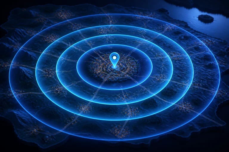
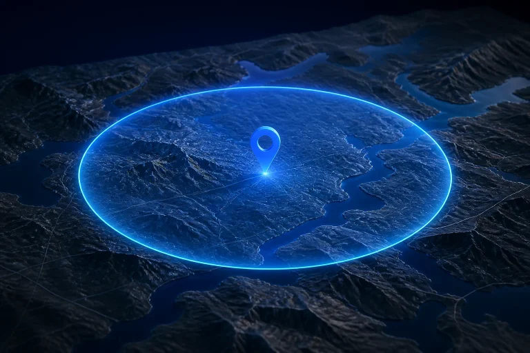
A mile radius map shows a circular area around one center point using a radius measured in miles . A 10-mile radius, for example, extends approximately 10 straight-line miles from the center in every direction.
To draw a radius on a map , choose the center point, enter the radius distance, select miles or kilometers, and create the circle. The resulting boundary shows locations approximately within that fixed straight-line distance from the center.